December 9, 2024
In
Japanese Map Shiratani Unsuikyo Trailhead Yakushima
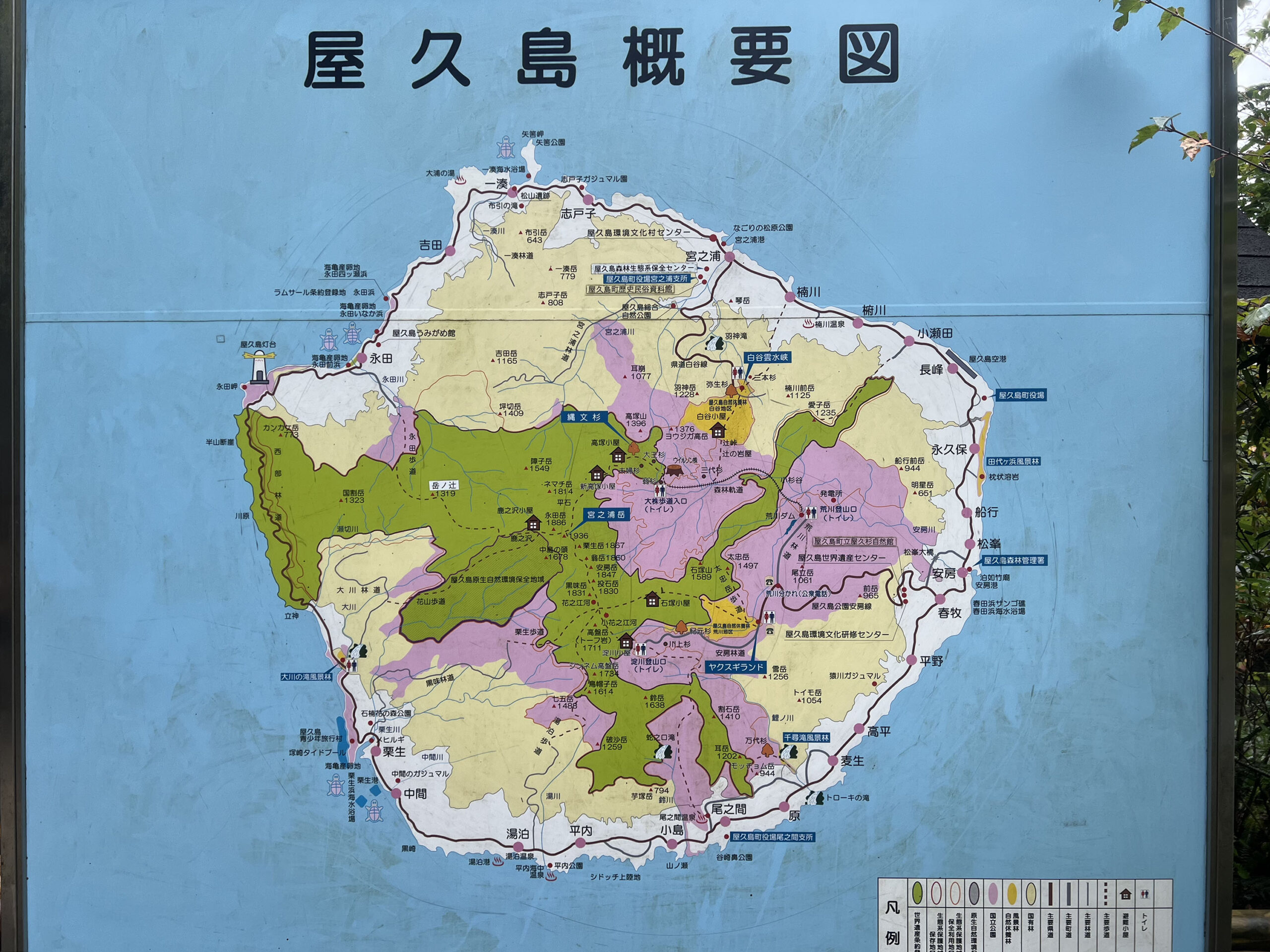
One thing I found when traveling in Japan is that the Japanese are very good about showing maps at the trailheads. This map I think shows the different hiking and park regions of Yakushima. This island is so rich with beautiful Yakusugi (屋久杉) trees – “Japanese cedar” (sugi, or Cryptomeria)
No Comments